

The frequency, severity, and unpredictability of wildfires are increasing, placing greater strain on forestry firms, firefighting organisations, and rural communities. Lookout towers, patrols, and public reporting are examples of traditional detection techniques that frequently fail to detect fires until smoke is visible over great distances. Small sparks may grow into unmanageable accidents due to these delays.
High-resolution imagery and advances in artificial intelligence have opened new avenues for proactive fire management. An integrated early-warning system created by Pano AI continuously scans landscapes, automatically detects smoke, and provides fire managers with real-time intelligence. The technology enables faster verification, more precise dispatch decisions, and ultimately a more successful initial attack.
What is it?
Pano AI is an automated platform for situational awareness and wildfire detection that integrates:
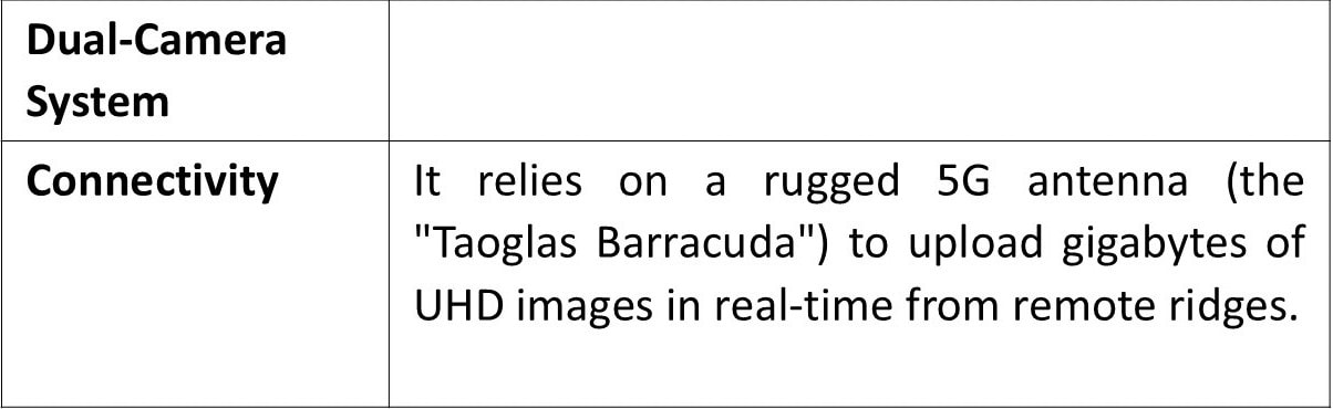
• Panoramic ultra-high-definition dual cameras mounted on tall structures,
• Artificial intelligence that determines early smoke signatures in images, and
• A cloud-based intelligence dashboard that land managers and fire departments use.
Every minute, day or night, each Pano Station makes a 360-degree scan of the horizon. Depending on the topography, the system may see beyond 30 kilometres, providing extensive coverage of plantations, forests, conservation areas, and infrastructure corridors. The technology instantly notifies users with the precise heading and estimated position when it detects suspected smoke.
How does it work?
Continuous landscape monitoring
Solar-powered Pano Stations capture high-resolution visual and infrared imagery around the clock. The cameras function in daylight, low-light, and night conditions, ensuring uninterrupted surveillance during peak fire seasons.
AI smoke detection
Machine-learning models analyse millions of pixels in real time to distinguish smoke from clouds, dust, or mist. The algorithms are trained on local environmental data and continuously improve with human feedback.
Rapid verification and alerting
When the system identifies a potential ignition, alerts are sent within minutes to control centres and designated responders. Trained analysts verify the event using multiple camera angles and satellite information before escalation.
Shared operational intelligence
The Pano platform provides live camera feeds, triangulated fire locations, weather conditions, wind direction, and map layers in a single interface. This allows dispatchers to send the closest resources with accurate information rather than searching for the fire.
Other interesting information
• Visibility range: typically, 20–35 km depending on terrain
• 24/7 operations with optical and infrared imaging
• Integration with satellite detections and weather feeds
• Multi-agency collaboration on a single platform
• Scalable networks from single stations to regional grids
For more information, visit: PANO


